
Trace a Las Cruces Street Directory
Address research in Las Cruces works best when each source is used for its actual role. USPS ZIP Code Lookup standardizes a delivery address. Doña Ana County property tools connect that address with an account and parcel. The Clerk holds the recording that can verify an instrument. A street search may reveal a property trail, yet it does not prove present occupancy or identify every household member. Keep the exact address, unit, account number, parcel number, and search date together so that a later result can be checked rather than guessed.
- Normalize the address with USPS, preserving the house number, directional word, street designation, and any unit.
- Search the same formatting in Doña Ana County EagleWeb or County GIS. Record both the account number and parcel number when a match appears.
- Read the account page for the situs address, legal summary, deed-holder label, and transfer headings. Use the GIS map to check roads and incorporated-boundary context.
- Treat the transfer reception number and book/page as a lead, then ask the County Clerk Documents Online gateway or Clerk for the supporting recording or copy options.
- For an older address question, use maps, newspapers, and a repository-confirmed directory volume. The voter portal is for a voter’s own registration and should not be used as a broad street roster.
USPS results standardize delivery geography, not people. The county tools can format owner, mailing, and situs fields differently, so a no-result should prompt an address-variant check before any conclusion is drawn.
Las Cruces Street Directory Fields
EagleWeb offers Basic, Advanced, and Combined account search routes. Basic search accepts an account number, parcel number, owner or business name, situs address, City/Zip, and mobile serial or title. For a street-by-street question, the situs route is the focused choice. The address form breaks an address into parts, which matters when a directional word, suffix, or unit makes a long text string fail.
| Observed EagleWeb field | Search route | Useful formatting |
|---|---|---|
| House number, direction, street name, designation, unit | Basic situs address | Keep each address part and unit distinct when known. |
| City/Zip | Basic search | Use to narrow an otherwise similar street result. |
| Account number or parcel number | Basic search | Use the identifier returned by a prior County result. |
| Subdivision, lot, block, tract, unit | Advanced search | Use when the street address is incomplete or has changed. |
| Section, township, range | Advanced search | Use only when those legal components are already known. |
The EagleWeb address-search form illustrates the structured approach. A Las Cruces street directory search should preserve the portal’s returned identifier instead of substituting a loose owner-name match.
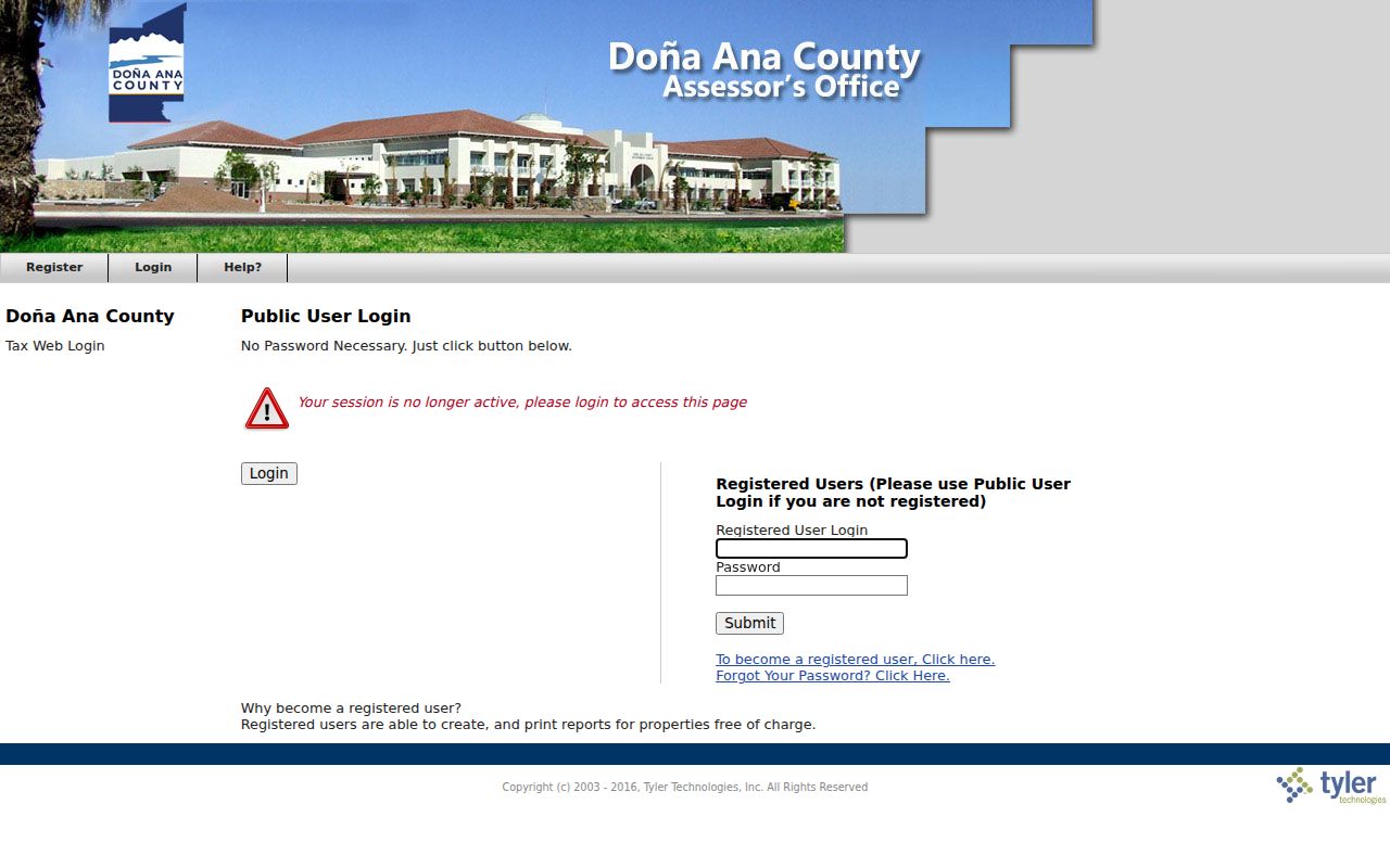
The form supports an address-first route into the parcel record, where the account, legal, transfer, and GIS panels can be reviewed separately.
Las Cruces Streets in County GIS
The Doña Ana County Parcel Lookup can search owner name, map code, parcel number, account number, situs address, or road. Its parcel pop-up adds road placement and property context, including subdivision, acreage, value components, legal land fields, school district, tax area, owner or mailing fields, and an assessor link. Use road and incorporated-boundary layers to decide which office may hold a permit or code file.
Parcel geometry is a visual research aid, not a survey. The reviewed application did not demonstrate a public radius or buffer tool, so nearby work should be described as a map check with individual parcel clicks. A parcel edge on the viewer also does not replace the legal description or a deed. Preserve the map code and layer date with the account and parcel numbers.
- Parcel
- A county property unit identified in the assessor and GIS systems. One street number can relate to more than one parcel or unit.
- Situs address
- The property location label used in a county record. It is different from a tax mailing address when the two fields do not match.
- Plat
- A recorded map used to depict lots, blocks, or subdivision layout. Check the Clerk record for the controlling document.
- Criss-cross directory
- A directory arranged by address or street rather than only by surname. A verified volume is a dated historical clue, not a current source.
Note: County map and assessor views can refresh on different schedules, so retain each identifier and the date of each search.
Las Cruces Street Directory Records
A street address can open several distinct record paths. The table separates what each system actually provides from the conclusions it cannot support. Start with the address-keyed county tools, then pass stable identifiers to the appropriate custodian. The Clerk’s guest or registered gateway establishes where document research begins, but the detailed post-login fields and coverage were not observed during research.
| Address-keyed source | Custodian | What it can show | Access note |
|---|---|---|---|
| EagleWeb property account | Doña Ana County Assessor | Situs, parcel, legal summary, tax area, assessment and transfer headings | Public Guest route |
| Parcel Lookup map | Doña Ana County GIS | Road context, parcel geometry, boundary context, map code, assessor link | Public viewer |
| Documents Online | Doña Ana County Clerk | Gateway for official-record index research and Clerk follow-up | Guest or registered entry; downstream details unverified |
| Building search | City of Las Cruces Accela | Public permit and record-search trail by address or parcel | Anonymous search; account needed for application or status actions |
| Voter Information Portal | New Mexico Secretary of State | A voter’s own registration, polling place, ballot, and related information | Not a broad public street search |
Assessor information is useful for navigation, not a substitute for an official instrument. The Assessor determines value for the tax base, while the Treasurer collects taxes. A taxable value or deed-holder label should not be treated as proof of sale price, title, or occupancy.
The Doña Ana County Assessor office page is the official starting point for the property-search role and related tax-law links.
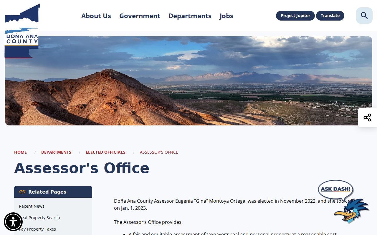
The office page places the assessor search in its proper role: a current property-account route that must be checked against the Clerk when an instrument matters.
Las Cruces Street Directory Permits
City permits add a municipal layer to a Las Cruces street directory search. The City’s public Building search in Accela accepts a street-number range, street name and type, unit type and number, parcel number, City, State, and ZIP, as well as record fields. The City says a valid City-assigned address is required to apply. A returned record can establish a public permit trail, but it does not prove who currently uses a location.
The Las Cruces Accela Citizen Access page is the direct search route. Preserve the parcel number, record number, and address formatting exactly as displayed. A registered account is required for application and status-management actions, even though public search is reachable without one.
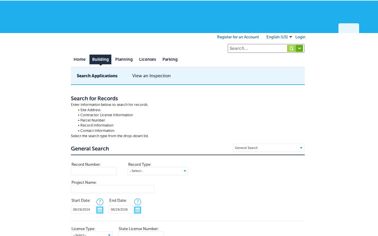
Accela’s separate address components make it useful when a City permit trail must be compared with the County situs and legal record.
Las Cruces Street Directory Boundaries
A Las Cruces mailing address does not by itself decide whether City or County staff hold a record. Check the County GIS incorporated-boundary layer first. A location outside City limits may belong with County building services, while a City address can have a municipal permit record in Accela and a County parcel record at the same time. Keep the USPS address, County situs and parcel, tax area, and City context as separate values.
The Las Cruces City Clerk page identifies City record custody for ordinances, resolutions, council records, and municipal requests. It is a helpful records route once the map shows that the City is the appropriate custodian.
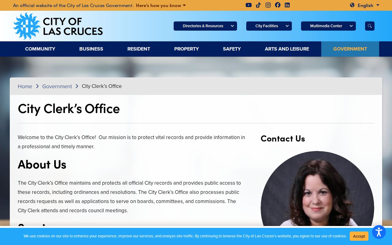
Municipal custody and County parcel custody often intersect, but they do not turn into one combined address file.
Las Cruces Street Directory Labels
Mailing and situs labels answer different questions. A mailing address is where tax correspondence is sent. A situs address identifies the property location in the County record. EagleWeb and GIS may present the owner label, deed-holder label, mailing field, and situs field in different formats. A trust, estate, entity, joint name, or abbreviation can also change a text match.
When the address does not return a clean result, remove the unit, try a directional variation, use only street and number, select the matching road suggestion in GIS, or search the parcel or account from an earlier result. Do not turn a mailing label into an occupancy claim. Preserve discrepancies and ask the Assessor or Clerk to resolve a records question.
Depot Street, Now Las Cruces Avenue
Las Cruces history preserves one useful place-name clue: Depot Street is today’s Las Cruces Avenue. That fact can help connect an older map, newspaper, or archive search to a current road name. It does not establish that every older address retained the same number, that an entire street was renumbered, or that a matching house number identifies the same parcel.
For a historical address, retain the suffix, direction, street name variant, lot or block, subdivision, and legal description. Then compare County parcel information with Sanborn maps, local newspapers, and archive finding aids. A property’s legal description may remain useful when a road label or number changes.
Las Cruces Street Directory Transfer Leads
On an EagleWeb account page, the transfer panel can show record sequence, reception number, book/page, sale date, grantor, grantee, document type, parcel number, and an assessor remark. Those fields are valuable for moving from a street address into Clerk research. The account page also provides a printable profile and a GIS link, which makes it easier to retain the parcel context while checking a recording.
The Documents Online gateway offers Guest and registered entry, plus a separate FraudSleuth name-search link. Because the detailed index controls were not available during research, use a narrow name or reception-number request with the Clerk rather than assuming a document image, date range, or menu option.
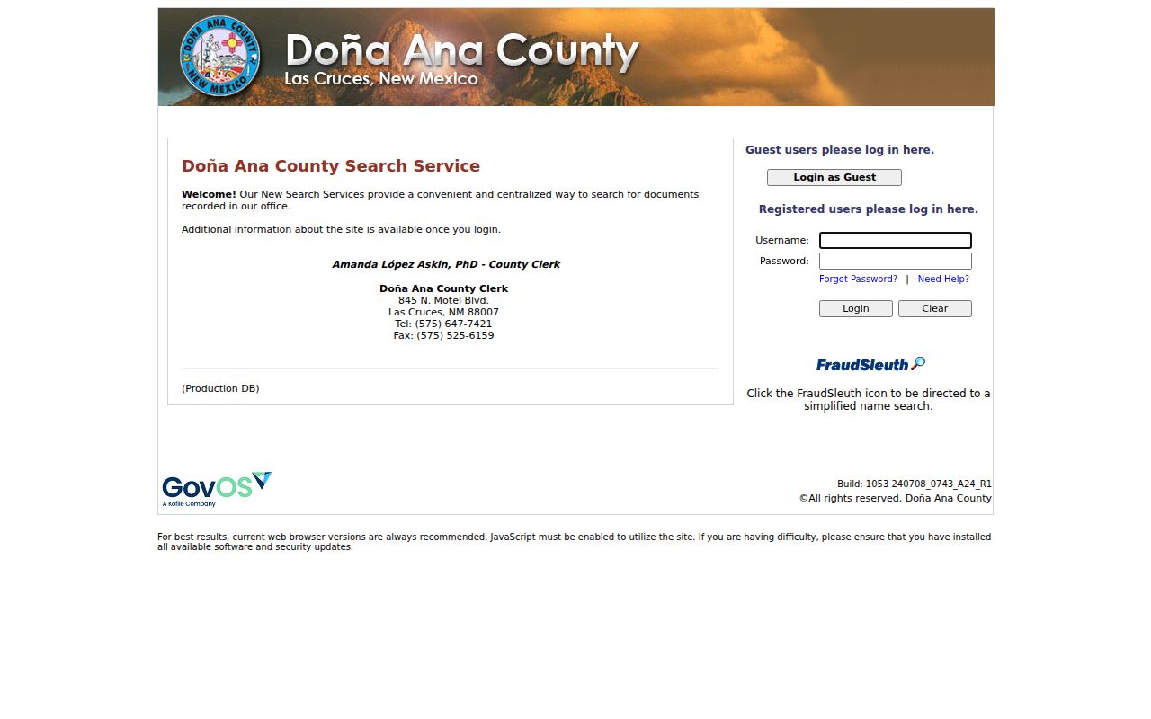
The public gateway confirms the Clerk’s entry point while leaving post-login coverage and image availability to live verification.
Las Cruces Street Directory Limits
Address records are not a complete roster of a street. Parcel and permit entries describe a property or administrative record. The voter portal uses first name, last name, date of birth, and county to return a voter’s own information, not a public name search. New Mexico Safe at Home protections can intentionally withhold a participant’s actual address, telephone number, and email from public release. Court privacy rules can also limit access.
For a City or County request, identify the custodian, street or parcel, record category, date range, preferred inspection or copy format, and contact information. The New Mexico Inspection of Public Records Act asks for reasonably particular records, and the City asks for enough detail to locate the material.
Las Cruces Street Directory Map Date
County GIS service metadata identifies the reviewed parcel layer as using 2025 tax-year data extracted on December 11, 2025, with processed changes for the 2026 tax year through that point. That is a practical reason to compare a newly found recording or City action with its source date before treating the map as current.
Stable identifiers make the check easier. Retain the parcel or account number, reception number, record number, source URL, exact search string, and any displayed version or disclaimer. The street directory is strongest when it points to the next custodian and documents the limits of a snapshot.
Note: A later recording, permit action, or valuation change may not yet appear in the reviewed County map extract.