
Las Cruces Neighbors by Block
For an immediate block question, the official sources each answer a limited part of the map. Doña Ana County GIS provides parcel geometry and County assessment context. EagleWeb is useful for account-oriented parcel research. The City Parcel Viewer adds City-facing layers such as incorporated boundaries, roads, lots, units, and easements. The City’s neighborhood-association registration information supplies civic context, but it is not a parcel-by-parcel boundary record or a people list.
| Source | What It Shows About a Block | Access |
|---|---|---|
| Doña Ana County Parcel Lookup | Parcel geometry, roads, account and parcel context, subdivision, tax area, and incorporated-boundary layer | Public viewer |
| EagleWeb Property Search | Assessment account, parcel, situs, legal summary, transfer headings, and a GIS link | Guest entry |
| Las Cruces Parcel Viewer | City lots, units, condominium or subdivision context, roads, easements, and municipal layers | Public map interface |
| City association registration | Civic-association registration context and the centralized database route | Public City information |
| City Clerk IPRA | A request path for City-held records after jurisdiction is confirmed | Public request route |
Parcel records concern land and recorded or assessment context. A parcel is not a current-household roster, and a mailing field can differ from the situs address. Begin with the block’s physical layout, then decide whether the question belongs with the County, the City, or the Clerk. This keeps a Las Cruces neighbors search tied to records and boundaries rather than assumptions about people.
Map Las Cruces Neighbors
The County GIS method is visual adjacency, not a calculated-radius search. Its reviewed public configuration did not expose a radius or buffer tool. Search the focal parcel, zoom to its edges, turn on roads and incorporated boundaries, and click contiguous parcels one at a time. Retain only the parcel number, map code, situs, legal or subdivision context, and assessment-map link needed for the record question.
- Locate the focal address in the Doña Ana County Parcel Lookup and record its parcel number and account number when displayed.
- Switch on roads and the incorporated-boundary layer, then inspect only the parcels that visibly share an edge with the focal parcel.
- Compare lot, unit, subdivision, and map-code context. A road, common area, easement, or separate unit can interrupt what looks like a simple block.
- Use EagleWeb for assessment-account details and the County Clerk for a recording question. Do not use a map edge to decide a legal boundary.
That bounded process is useful when the question is about adjacent land or the right records office. For a full named-street record path, the Las Cruces by-street directory follows the wider address workflow.
Las Cruces Parcel Tool Comparison
County GIS and the City Parcel Viewer complement one another. County GIS locates and links parcel or account context, while the City viewer is better for City-facing layers such as lots, units, roads, easements, and incorporated boundaries. Neither visual layer is a survey. EagleWeb provides the assessment-account view and transfer headings, but a heading or map pop-up does not replace an official Clerk instrument when exact text or legal description matters.
| Tool type | Best use | Important limit |
|---|---|---|
| Official County and City tools | Parcel context, jurisdiction, municipal layers, and a path to the responsible custodian | Map geometry is not a survey, and data extracts can lag a later change |
| Commercial neighbor tools | May present a compiled starting point | They do not replace County, City, Clerk, or court custody, and their entries need confirmation at the official source |
The Doña Ana County EagleWeb entry is the source for the property-search view below.
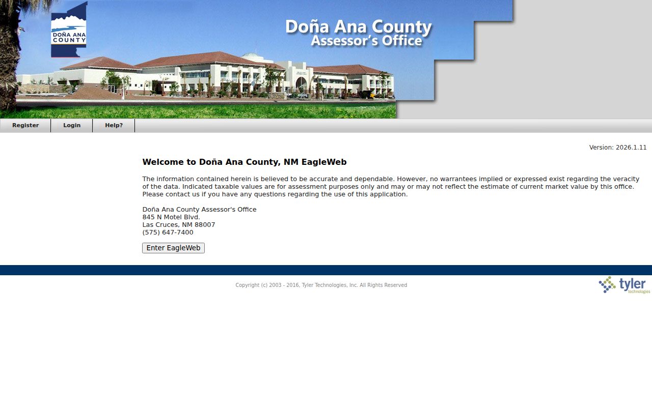
Start with a parcel or account where possible, because an exact identifier is more reliable than a broad name search across a block.
Las Cruces Parcel Edges
A parcel edge on a viewer is a research lead, not a surveyed boundary. The County GIS adds valuable context through roads, parcel shape, acreage, subdivision, tax area, and school district, but its reviewed service uses 2025 tax-year data extracted on December 11, 2025 with processed 2026 changes only through that point. A later deed or valuation update may not yet appear on the map.
When a boundary, legal description, signer, acknowledgment, or exhibit matters, move from the map to the County Clerk. The assessor’s legal summary is also not the complete legal description. Boundary interpretation belongs with a surveyor or legal professional, while the Clerk holds the recording path. The nearest relevant record can sometimes be a road or easement layer, not a parcel label.
EagleWeb supports account number, parcel number, owner or business name, situs address, City/Zip, and advanced legal-description searches. Results may sort by account, city, document identifier or type, legal summary, neighborhood, parcel, situs, tax area, and ZIP. Those fields help locate the correct assessment account. They still do not resolve a boundary question or prove that a transfer heading is the full recorded instrument.
Note: Preserve the map date, source URL, parcel number, and any displayed service disclaimer with a parcel-research note.
Las Cruces City Limits
City limits change the records route. An address in unincorporated Doña Ana County may not be served by City permit, police, code, or public-record systems. Check County GIS’s incorporated-boundary layer first, then confirm the correct City or County department. This simple jurisdiction step prevents a mistaken no-record conclusion after a request goes to the wrong custodian.
Las Cruces Accela searches City building records by record number, type, date, address components, parcel, city, state, ZIP, and state license number. A valid City-assigned address is required to create an application, and account access is needed for application and status-management actions. The City permits and registrations page is the source for the City service view below.
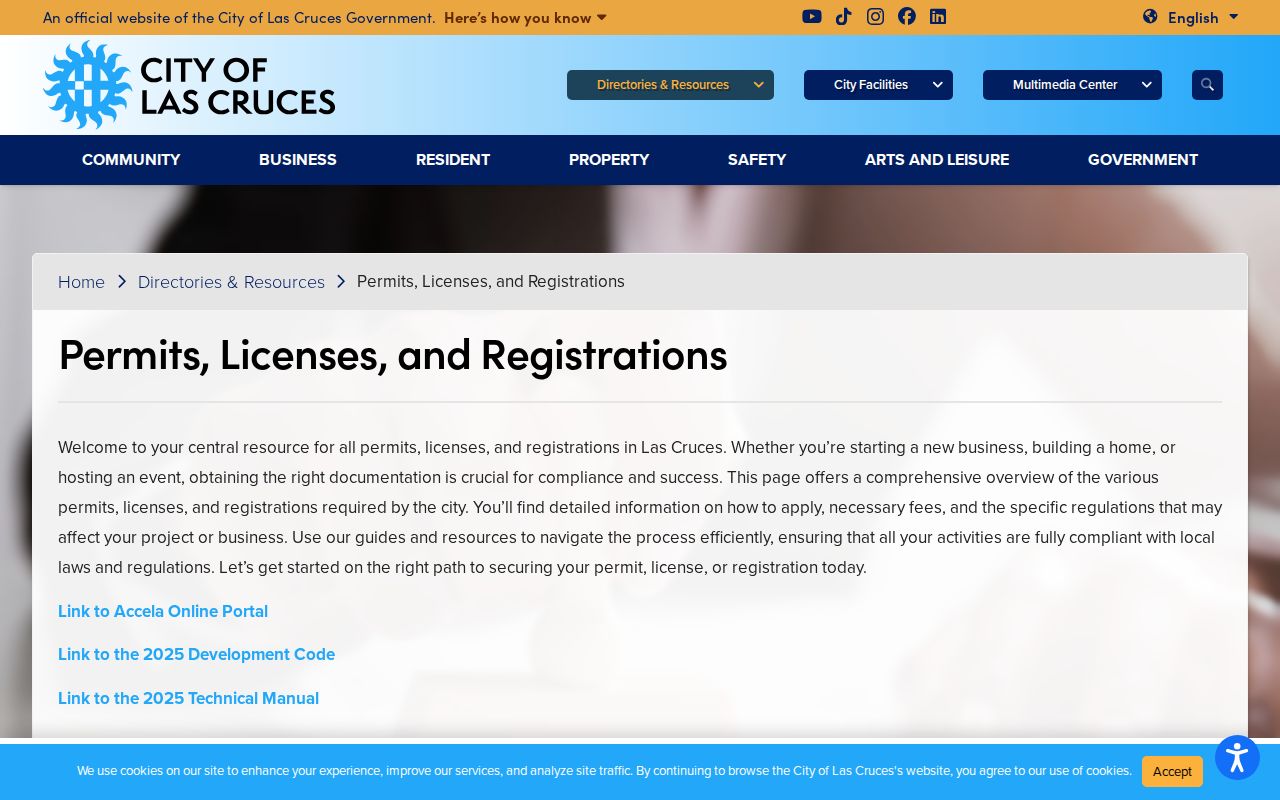
Once incorporated status is clear, a City permit search can answer a municipal record question without treating a City result as County parcel proof.
Las Cruces Units and Parcels
One street number can represent a condominium unit, suite, mobile account, common area, easement, or several underlying parcels. EagleWeb has a unit field and account-type filters. Accela distinguishes unit type and number, and City mapping can show lots, units, condominium documents, and subdivision context. Do not collapse those records into the base address.
If an exact address returns nothing, remove the unit, try directional variations, use only the number and street, select the matching road suggestion in GIS, or search by the account or parcel from a prior result. A no-result can reflect formatting, timing, a boundary, a changed road name, or a property with no assigned situs. It is not a reason to repeat a broad owner-name search across the block.
Las Cruces Neighborhood Associations
A neighborhood name, subdivision, and City association are different things. A subdivision can be shown in parcel context; an association is a civic organization; and neither alone sets an official parcel boundary. The City registration page says the City Clerk maintains a centralized association database accessible to all. That database is useful civic context, but the registration page does not provide a parcel-by-parcel boundary result or a local roster to reproduce.
| City contact route | What it supports | What it does not establish |
|---|---|---|
| Neighborhood Association Registration | Association registration context and the City Clerk’s centralized database | An official boundary for every parcel or a household list |
| Las Cruces City Clerk | City record custody and municipal public-records route | County parcel, Clerk recording, or survey custody |
The City neighborhood-association registration page is the source for the registration view below.
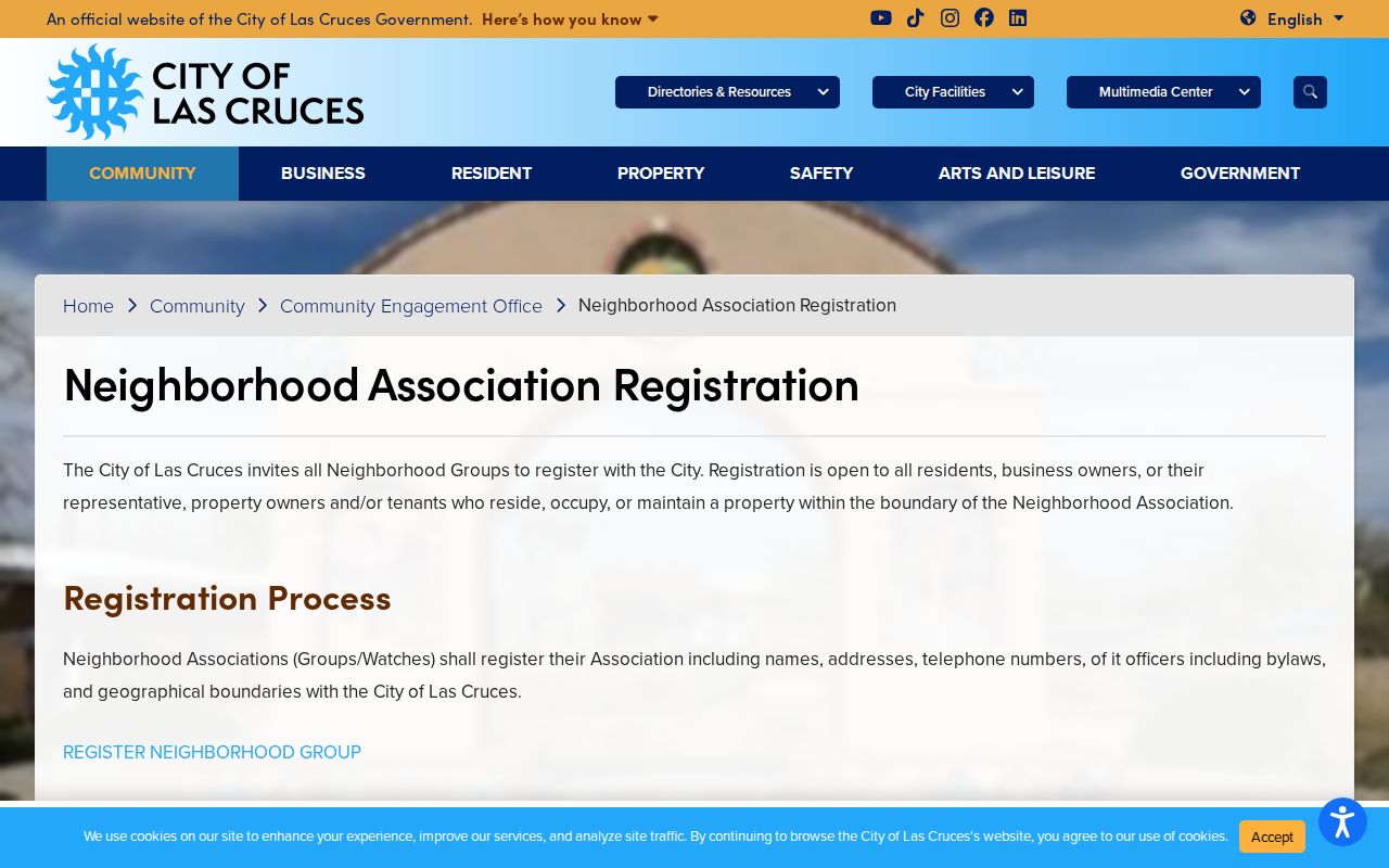
Use a City association contact for community context, then return to official parcel or Clerk records when the question concerns a specific property document.
Las Cruces Block Record Requests
After confirming City jurisdiction, a narrowly framed request can seek a City-held record. The New Mexico Inspection of Public Records Act, NMSA 1978 §§ 14-2-1 through 14-2-12, asks for reasonably particular records. City guidance asks for enough detail to locate them. Include the department, block or parcel context, date range, record category, and preferred inspection or copy format. Ask for an estimate before production if a large response is possible.
The Las Cruces City Clerk public-records request page is the source for the request route below.
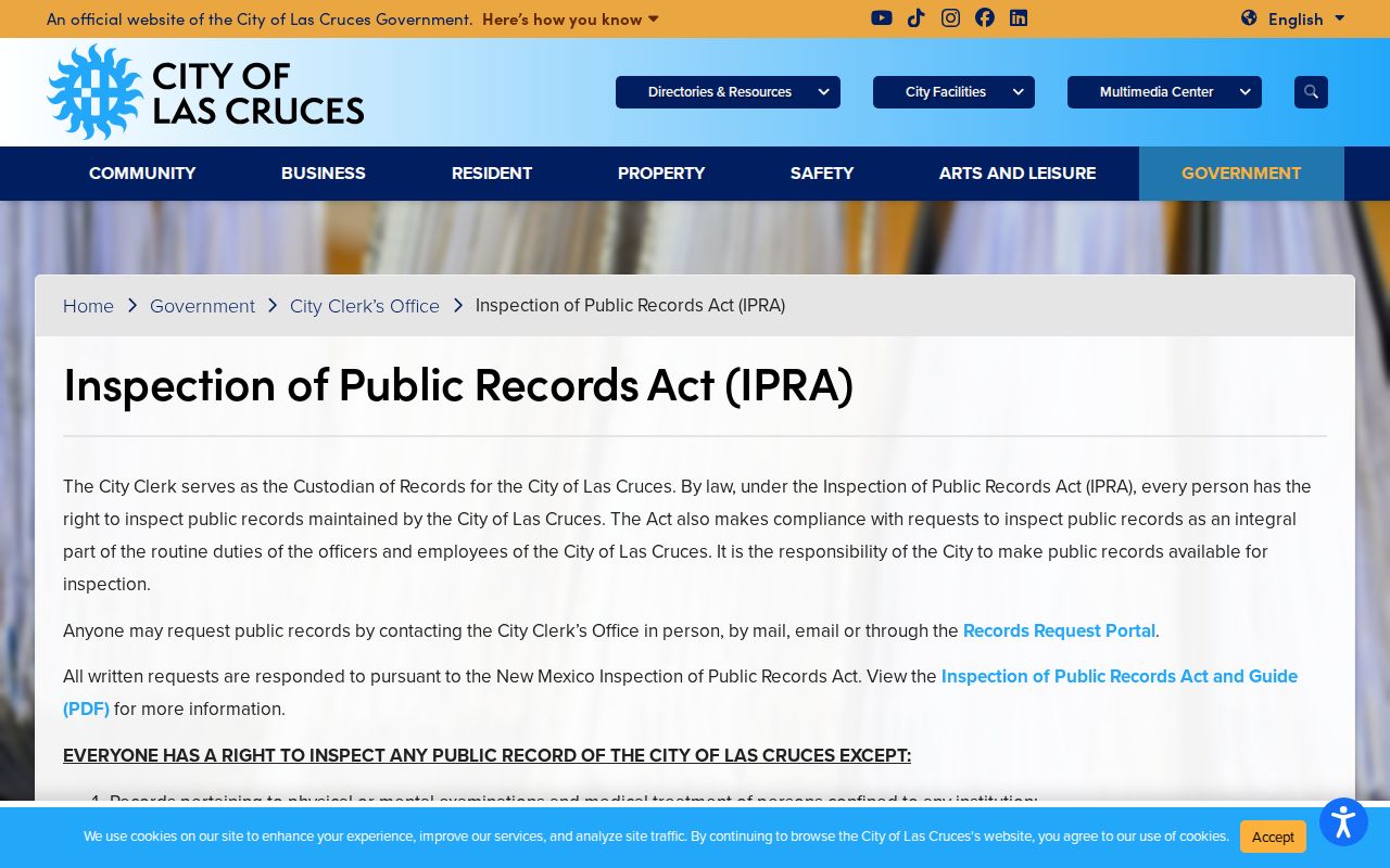
City IPRA lists $1 per standard printed page, USB media from $10, and actual postage, with possible prepayment. Check the current City page before ordering because charges and availability can change.
Las Cruces Neighbor Lookup Limits
Public records have real boundaries. New Mexico Safe at Home provides eligible participants a substitute address and protects the actual address, phone number, and email from public release absent a court order. Court material can be redacted, and a City or County custodian may provide only the segregable public portion of a record. A missing detail may be intentional and must not be reconstructed from other sources.
Use block records to understand land, jurisdiction, documents, and civic context. Do not use them to map another person’s movements, personal contacts, or protected location. If an address appears confidential or a record is redacted, stop and contact the responsible program or custodian through official channels.
Lawful use. Las Cruces neighbors research is for a focused, lawful property, civic, family-history, or document question. New Mexico stalking and harassment laws, including NMSA 1978 §§ 30-3A-2 and 30-3A-3, prohibit using records to stalk, threaten, harass, or harm anyone.